
Dam, river and weather telemetry
The network goes down. The data doesn't.
HydroDCS collects your gauge data three independent ways, on a fast, rugged appliance at the dam. In daily use on U.S. Army Corps of Engineers dams since 2018.
In service
Running on Corps of Engineers dams, day in, day out.
In daily use ever since, at Portland District dams and New England District's reservoir control center.
Independent ways for the data to arrive, all running at once.
Place to set it up. Every unit stays in sync.
When something fails
You lose a path, not the data.
Storms, wildfires, a cut cable, a cyber incident - whatever takes the network down, the paths at the dam keep collecting.
| Path | All normal | Antenna fault | Network outage | Cloud down |
|---|---|---|---|---|
| Straight from the sky | ||||
| Your own receiver | ||||
| Upstream servers | ||||
| Your data at the dam | Complete | Complete | Complete | Complete |
Where it runs
At the dam, and in the cloud.
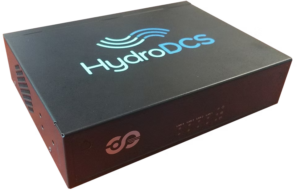
The appliance
Modern, fast, and nothing to service.
Rugged, encrypted, no moving parts, and it looks after its own housekeeping.
Download the capability statementWho uses it
One system, three kinds of people.
Not only a backup. It is the screen people keep open every day - color-coded current values, alarms and reports - so when the network goes, nobody has to learn a new tool in a hurry.
Operators
Current values and alarms at the dam, even with the outside network gone.
Water managers
Every project in one view, feeding the models you already run.
Regulators
The complete record, with the standard reports ready.
More than gauges
Any time series. Even the view from space.
Stored, charted, and served through an API to whatever needs it next. Watch a storm coming on live satellite imagery, and adjust reservoir levels sooner.
In the browser
Built for the person on shift.

